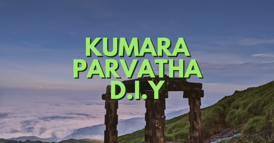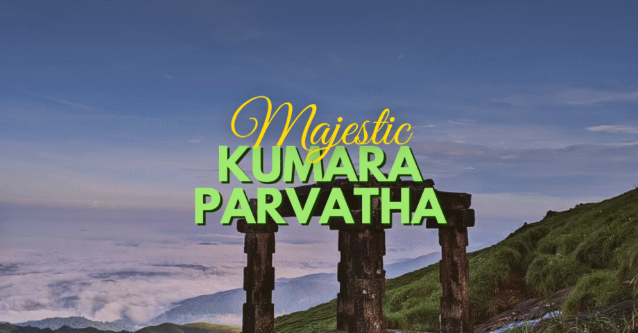
The Kumara Parvatha Trek is often called the toughest trek in Karnataka. Rising at 1,712 m (5,617 ft) inside the Pushpagiri Wildlife Sanctuary, it is the second-highest peak in Coorg and the fourth-highest in Karnataka.
Trekkers love this trail not only for its difficulty but also for its varied landscapes — dense Shola forests, bamboo groves, rolling meadows, rocky ledges, and panoramic summits. The imposing Shesha Parvatha ridge is a highlight in itself, often considered more beautiful than the final peak.
But as of 2025, the Kumara Parvatha Trek has changed. With the launch of the Aranya Vihara portal for forest permits, the rules have been revised:
- Camping at Bhattara Mane or Girigadde is banned. The trek must be done as a single-day hike.
- A new Beedahalli route has been opened as an alternate entry.
- Strict cutoff timings apply: all trekkers must return by 6:00 PM, with a recommended turnaround time of 2:00 PM.
If you’re planning to trek Kumara Parvatha in 2025, this guide has everything you need — routes, itineraries, permit details, difficulty level, and travel tips.
Table of Contents
- What Makes Kumara Parvatha Special
- Trekking Routes & Distances
- Suggested Itineraries (All Routes)
- Detailed Trail Information (Kukke & Beedahalli)
- Best Season to Trek
- Difficulty & Who Can Do It
- Permits & Rules (Aranya Vihara)
- How to Reach the Base
- Places to Visit After the Trek
- Other Treks in the Region
What Makes Kumara Parvatha Special
- Pristine Forests – Ancient Jamun, Dipterocarpus, and Machilus trees tower over mossy ground. Mist often cloaks the trail, making it feel Himalayan.
- Shesha Parvatha Ridge – A massive rock dome that dominates the landscape. Standing here offers the best views of the Western Ghats.
- Panoramic Summit – From Kumara Parvatha peak, you see Tadiandamol, Brahmagiri, Nishani Motte, and even Kudremukh on clear days.
- Varied Landscapes – Forests, grasslands, waterfalls, rock slabs, and ridgelines — few treks in the Ghats pack in such variety.
Trekking Routes & Distances
There are now three approved routes to trek Kumara Parvatha:
- Kukke to Kukke (Traditional Route)
- Distance: ~22 km (both ways)
- Duration: 11–12 hrs (one day)
- Highlight: Shesha Parvatha climb
- Limit: 300 permits per day
- Beedahalli to Beedahalli (New Route)
- Distance: ~14 km (both ways)
- Duration: 7–8 hrs (one day)
- Highlight: Dense forests, shorter climb
- Limit: 300 permits per day
- Beedahalli to Kukke (Crossover Route)
- Distance: ~18 km (point-to-point)
- Duration: 9–10 hrs
- Highlight: Combines forest beauty with Shesha Parvatha ridge
- Limit: Only 30 permits per day
Suggested Itineraries
1. Kukke to Kukke (Traditional Circuit)
- Start early (5:30–6:00 AM) from Kukke Temple.
- Reach Girigadde Forest Checkpost (~2.5 hrs).
- Push to Shesha Parvatha Top (~2 hrs).
- Attempt Kumara Parvatha summit only if you reach Shesha Parvatha by 10:30–11:00 AM.
- Turn back by 2:00 PM from wherever you are.
- Return to Kukke before 6:00 PM.
2. Beedahalli to Beedahalli
- Start by 6:30 AM from Beedahalli Checkpost.
- Trek 7 km through dense forest and rock slabs to the summit.
- Spend 30 mins at the peak, then descend.
- Return by 3:00–4:00 PM.
3. Beedahalli to Kukke (Crossover)
- Start from Beedahalli by 6:00 AM.
- Summit Kumara Parvatha by 11:00 AM.
- Descend via Shesha Parvatha and Girigadde.
- Finish at Kukke by 5:00 PM.
Best Season to Trek
- October – February: Clear skies, cool weather, best trekking experience.
- March – May: Extremely hot; not recommended.
- June – September: Monsoon; leeches, slippery rocks, and forest restrictions.
Difficulty Level
- Grade: Difficult
- Why? Long distance (14–22 km), steep ascents, rocky descents, limited turnaround time.
- Fitness Needed: Excellent endurance. Prior trek experience strongly recommended.
- For Beginners? Fit beginners may try the Beedahalli route but should train beforehand.
Kumara Parvatha Trek – Trail Breakdown
1. Forest Trail from Kukke Subramanya
The trek starts early from Kukke Subramanya Temple. The first few kilometers are through dense forest, where tall trees form a canopy overhead. The path is uneven with roots spreading across the trail, making it adventurous but slightly challenging. Photo suggestion: Your forest trail photo (IMG_20211127_084624_897.jpg).
2. Dodda Bande & Refreshing Water Stream
After a steady climb, you’ll reach a landmark called Dodda Bande (big rock). If you take a small detour to the right, there’s a little water stream (jhari) where trekkers usually refill bottles and cool off.👉 Photo suggestion: Big rock or water stream (IMG_20211127_080947.jpg).
3. Girigadde – Mix of Forest & Grasslands
As you approach Girigadde, the trail opens into mixed terrain – a combination of small clearings, shrubs, and rolling meadows. This is where you start getting the first clear views of the surrounding Western Ghats.👉 Photo suggestion: Mixed grassland + shrubs (IMG_20211127_072515.jpg).
4. Kallu Mantapa – A Resting Point with Views
A few kilometers from Girigadde, you’ll find the Kallu Mantapa, a stone structure that acts as a resting spot for trekkers. If you turn back from here, you’ll get a distant view of Kukke Subramanya town.👉 Photo suggestion: The stone pillar view (IMG_20211127_095342.jpg).
5. Shesha Parvatha – Grassland Ridge Walk
From Kallu Mantapa, the trail takes you towards Shesha Parvatha. This stretch is entirely through open grasslands, with steep climbs and panoramic views. You’ll cross from the western face of the mountain to the eastern face, opening up two spectacular viewpoints perfect for photos.👉 Photo suggestion: Ridge + grassland photos (IMG_20211127_094649_994.jpg, IMG_20211127_100715.jpg).
6. Forest Patch before the Peak
After Shesha Parvatha, the path leads into another dense forest stretch for about 1 km. The temperature drops here, and you’ll feel a refreshing cool breeze that re-energizes your tired body.👉 Photo suggestion: Forest patch (IMG_20211127_101841.jpg).
7. Final Rock Climb to Kumara Parvatha Peak
The last stretch is the toughest part of the trek – climbing steep rocks and boulders for about 500 meters. Once you conquer this climb, you’ll finally stand on the Kumara Parvatha peak (1,712 m), rewarded with breathtaking views of the Western Ghats.
8. Return via Kukke Subramanya
The descent follows the same route back to Kukke. After completing the trek, many trekkers also visit the Kukke Subramanya Temple, one of Karnataka’s most famous pilgrimage centers.
Permits & Rules (Aranya Vihara)
- All trekkers must book permits online at Aranya Vihara portal.
- Carry printouts and ID proof.
- Deposit for plastic items is mandatory (refunded on return).
- Camping equipment is strictly prohibited.
- Entry allowed only between 6:00 AM – 2:00 PM.
- Exit must be completed by 6:00 PM.
How to Reach
- From Bengaluru: Overnight KSRTC/private bus (~280 km).
- From Mangaluru: 2 hr drive (~100 km).
- Nearest Railway: Subrahmanya Road (12 km from Kukke) (Google maps link)
- Beedahalli Route: Base near Somwarpet (~25 km auto ride from bus stand).
Places to Visit After the Trek
- Kukke Subramanya Temple – Famous snake god temple.
- Mallalli Falls – One of Coorg’s most spectacular waterfalls.
- Bisle Ghat Viewpoint – Panoramic Western Ghats valley.
- Sakleshpur Plantations – Coffee estates and rolling hills nearby.
Other Treks in the Region
- Tadiandamol Trek (Coorg’s Highest Peak)
- Nishani Motte Trek
- Brahmagiri Trek
- Kopatty Trek
👉 Ready to take on the challenge? To book your Kumara Parvatha trek, you can check out our detailed itinerary here and plan your adventure with Travel Elneeru.
Final Thoughts
The Kumara Parvatha Trek is not for the faint-hearted. It’s long, steep, and exhausting. But for those who prepare well, it offers some of the most rewarding views in the Western Ghats.
Whether you choose the classic Kukke trail, the shorter Beedahalli climb, or the crossover for best of both worlds, Kumara Parvatha guarantees an adventure you won’t forget.
📌 Pro Tip: Start as early as possible, respect the turnaround time, and never underestimate the Western Ghats’ wilderness.