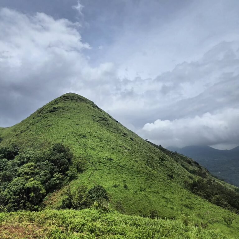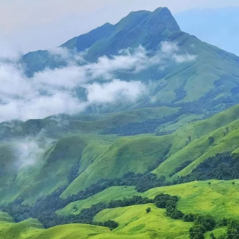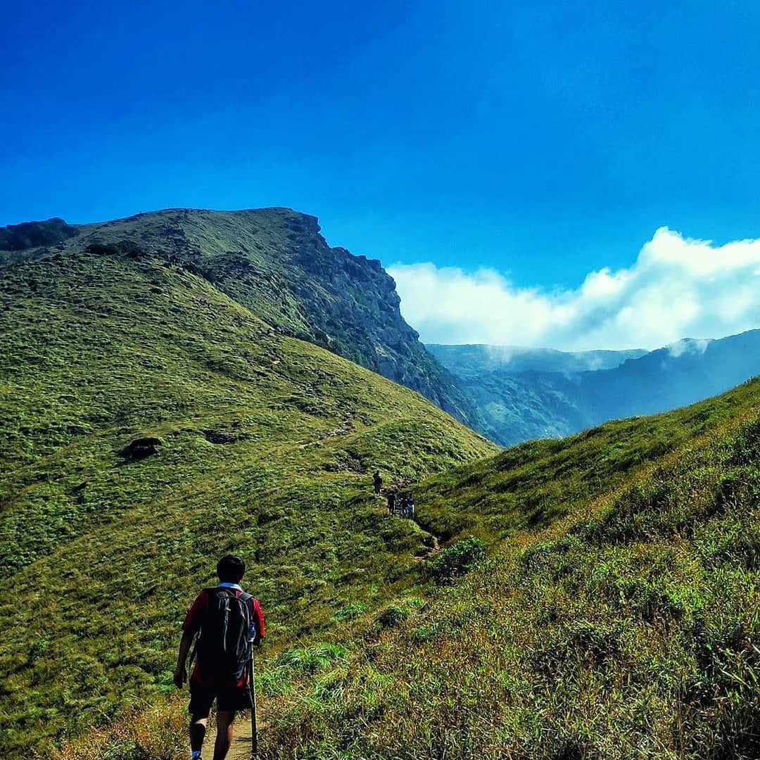
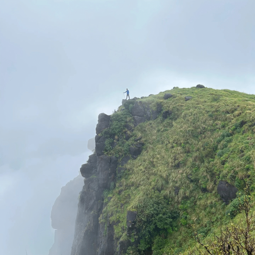
Kumara Parvatha is the climb Karnataka trekkers measure themselves against. The classic route from Kukke Subramanya runs about 22 km return to a 1,712 m summit, the second-highest peak in Coorg. Since Aranya Vihara banned camping on the mountain, it has to be finished in a single day: roughly 11 to 12 hours of walking, a hard 2 PM turnaround, and a final rock section that is the steepest kilometre most trekkers in the Western Ghats will ever climb.
Highlights
Kukke Subramanya temple base town
Bhattara Mane
Girigadde viewpoint
Shesha Parvatha ridge
Panoramic summit views of Western Ghats
Day-by-Day Itinerary
Day
0
Pickup from Bengaluru
Assemble at designated pick-up points in Bengaluru by 9:00 PM.
Overnight journey to Kukke Subramanya in a private vehicle.
Day
1
Kumara Parvatha Trek (Day Hike)
Early morning arrival at Kukke Subramanya, freshen up.
Breakfast at a local eatery.
Start trek by 6:00 AM from Kukke Temple premises.
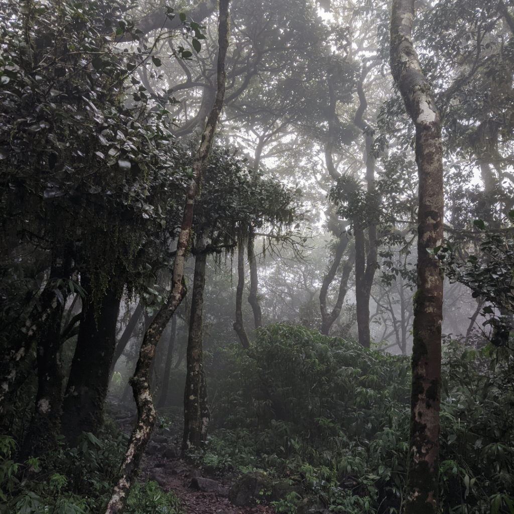
Ascend through dense forests and meadows.
Lunch en route (packed/local arrangements).
Very important: To return before the forest gate closes at 6:00 PM, the turnaround point is 2:00 PM (wherever the group has reached).
Descend back to Kukke Subramanya by evening.
Check in at a lodge/homestay in Kukke, freshen up, dinner, and rest.
Day
2
Kukke Sightseeing β Bengaluru
Early breakfast at Kukke.
Visit Kukke Subramanya Temple and nearby attractions (sightseeing stops en route β waterfalls/forests depending on season).
Every trekker needs an online Karnataka Forest Department permit. Travel Elneeru books it for your batch and carries the printout, so you do not deal with the portal.
βΊ
No camping on the mountain
Overnight stays at Bhattara Mane and Girigadde are no longer permitted. Kumara Parvatha is now a single-day summit push, and camping equipment is not allowed past the checkpost.
π
Entry 6 AM to 2 PM, out by 6 PM
The forest gate admits trekkers between 6 AM and 2 PM and everyone must be down by 6 PM. We set a 2 PM turnaround at the summit regardless of how far you have got.
ποΈ
Daily permit caps
The department releases about 300 permits a day each for the Kukke and Beedahalli routes, and only 30 for the Kukke-Beedahalli crossover. Weekend dates close early in season.
πͺͺ
Carry original photo ID
Driving licence, PAN, Voter ID, Passport or Aadhaar. Names are checked against the permit at Girigadde, and there is no mobile network to pull up a digital copy.
π«
Plastic counted in and out
A deposit is taken against the plastic you carry in and returned at the gate when you bring it back out. Alcohol, smoking and loudspeakers are prohibited inside the sanctuary.
Difficulty: Hard
π₯
Who Can Do This?
Not a first trek. Kumara Parvatha suits trekkers who have already finished two or three Western Ghats climbs and know how their legs behave after six hours. You need to be comfortable walking 20 km in a day over rock and root, and steady on a steep descent when your knees are tired. Fit beginners are better served by the shorter Beedahalli route.
β οΈ
Where It Gets Difficult
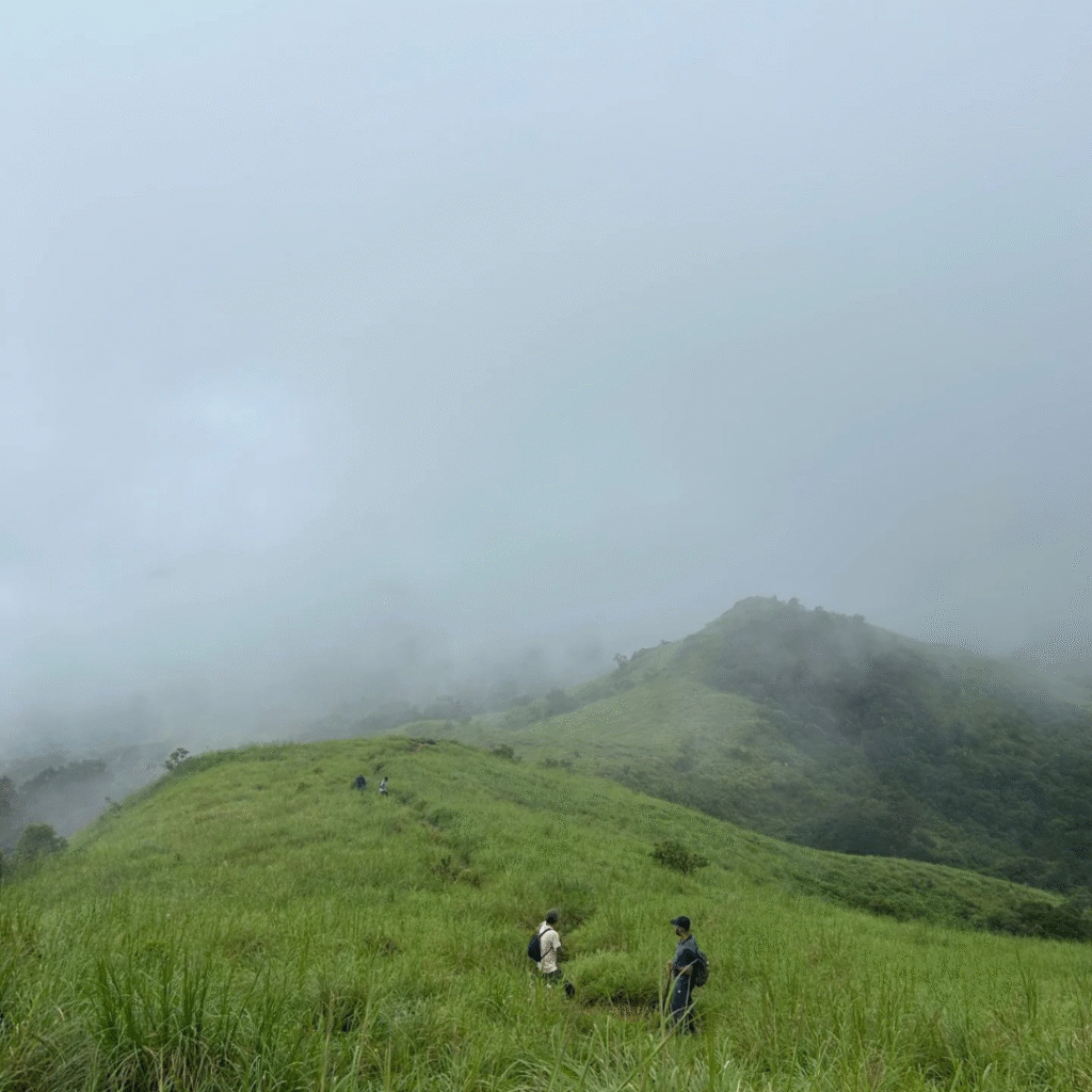
Three sections break people. The open grassland after Bhattara Mane offers no shade and comes when the sun is highest. Kallu Mantapa to Shesha Parvatha is a series of false summits that punishes anyone pacing by landmarks. The last 500 m is bare rock at a gradient that needs hands as well as feet, and it is worse on the way down than on the way up.
πͺ
Fitness Requirement
Train for six weeks. Aim to jog 5 km in under 35 minutes three times a week, and add one long walk of 10 km or more at the weekend. Stair repeats matter more than distance here: the climb gains over 1,400 m and the last stretch is continuous. If you cannot climb ten floors without stopping, give yourself another month before booking a date.
1712 m
Max Altitude
22 km
Total Distance
2D/2N
Duration
10-20
Group Size
Best Time to Visit
22°C
Light rain
Current weather in Kukke · Humidity 89% · Wind 1 m/s
The Ghats are at their most dramatic and the trail at its most punishing. Bare rock near the summit turns treacherous, leeches are constant from Girigadde upward, and the forest department closes the route on heavy-rain days at short notice. Experienced monsoon trekkers only.
BEST EXPERIENCE
πΏ
Post-Monsoon
Oct - Nov
β β β β β
The best window. Grasslands are still green, streams still running, the rock has dried enough to grip, and visibility from Shesha Parvatha is at its clearest of the year. Permits for weekend dates close first in these two months.
βοΈ
Winter
Dec - Feb
β β β β β
Cold, clear starts and the most comfortable walking temperature for a 22 km day. The grassland browns off and the jhari can run thin by February, so carry more water than you think. Excellent long-distance views.
π₯
Summer
Mar - May
β ββββ
Avoid. The open grassland stretch is brutally exposed, water sources dry up, and the heat makes the 2 PM turnaround far harder to meet. Fire risk also closes the sanctuary at times during these months.
Route Breakdown
π
Kukke Subramanya to the forest gate
The trail starts behind the temple town and climbs gently through areca and rubber plantation for the first 2 km. Easy walking, but this is where you set the pace that decides whether you make the 2 PM turnaround.
π§
Dodda Bande and the jhari
A large rock outcrop with a small stream beside it. This is the most reliable water on the Kukke side, so fill everything you carry here. There is nothing dependable above this point.
π
Girigadde forest checkpost
Around 2 to 2.5 hours in. Your Aranya Vihara permit printout and ID are checked here, and your plastic is counted in. The forest staff will turn back anyone arriving too late to finish inside the daylight window.
π‘
Bhattara Mane
The old homestead that generations of trekkers slept at. Camping and overnight stays here ended under the current forest rules, so treat it as a rest and refuel stop only. Shade, and the last building you will see.
βοΈ
The open grassland climb
The forest ends and the trail tilts up across exposed shola grassland. No shade, no water, and usually the hottest hour of your day. Most groups lose their buffer here rather than on the summit rock.
β°οΈ
Kallu Mantapa to Shesha Parvatha
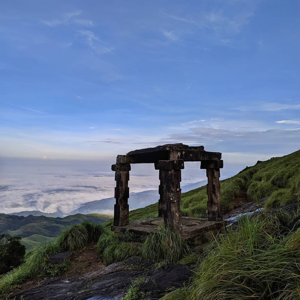
A stone shelter marks the ridge line, then a run of false summits along Shesha Parvatha. Roughly two hours from Girigadde. Pace by time, not by the next crest, or this section will break your morale.
ποΈ
The final rock and the summit
The last 500 m is bare rock steep enough to need your hands. On a clear morning the summit at 1,712 m opens onto the Pushpagiri range and, on the best days, a line of the Arabian Sea. Start down by 2 PM, no exceptions.
Packing List
Pack light but pack smart. Everything you bring, you carry on your back.
π₯Ύ
Trekking shoes with real grip
Non-negotiable on this trek. The last 500 m is bare rock and the descent on tired legs is where ankles go. Running shoes are not enough.
π₯€
Three litres of water
More than most treks, because the last dependable source is the jhari near Dodda Bande, low on the climb. Carry it in reusable bottles; single-use plastic is counted at the gate.
πͺͺ
Original photo ID
Driving licence, PAN, Voter ID, Passport or Aadhaar. Checked against the permit at Girigadde, and there is no mobile network to show a digital copy.
π§’
Sun cap and sunscreen
The grassland stretch above Bhattara Mane has no shade at all and you cross it near midday.
π§¦
Ankle-length socks and salt
For leeches between June and September. A small pouch of salt or a spray handles them faster than picking.
π±
Snacks in a steel box
Dry fruit, chocolate, energy bars. Plastic wrappers have to come back out with you, so a steel box keeps the count simple.
π§₯
Raincoat or poncho
Carry one from June to November. Weather on the ridge turns without warning even outside monsoon.
π¦
Headlamp with fresh cells
Groups that start at 6 AM sometimes finish the descent close to the 6 PM gate. A phone torch will not last.
π§―
Knee support if you have ever needed one
The descent is 1,400 m of continuous down on rock. This is the single most common reason people struggle on the way back.
π
Power bank
No charging anywhere on the mountain and the cold drains phone batteries on the ridge.
Your feet will want out of trekking shoes the moment you reach the bus.
How to Reach
Kukke Subramanya is about 280 km from Bengaluru, six to seven hours by road via Hassan and Sakleshpur. Our overnight bus leaves Bengaluru on Friday evening and reaches the temple town before first light so the climb can start at the 6 AM gate opening. If you are making your own way, KSRTC runs overnight services from Majestic to Kukke Subramanya, and the nearest railhead is Subrahmanya Road, about 12 km from the base.
The classic Kukke Subramanya route is about 22 km return with roughly 1,400 m of ascent to a 1,712 m summit, and takes 11 to 12 hours of walking. The newer Beedahalli route is about 14 km return and takes 7 to 8 hours. The Beedahalli to Kukke crossover is about 18 km point to point over 9 to 10 hours.
No. Overnight stays and camping at Bhattara Mane and Girigadde are no longer permitted, and camping equipment is not allowed past the forest checkpost. Kumara Parvatha is now a single-day summit climb. Any operator still advertising a night on the mountain is working from old information.
At a homestay in Kukke Subramanya town, at the base of the mountain. Nobody sleeps on the mountain any more: overnight stays at Bhattara Mane and Girigadde ended under the current forest rules, so the summit is a single-day climb from the base and you come back down to a bed, a hot meal and a shower the same evening.
Beedahalli, by a wide margin. It is about 14 km against 22 km and skips the long forest approach, so it is the sensible choice for a first attempt or for anyone unsure of their pace. The Kukke route is the traditional and much harder line, and the one this trek follows.
Entry is allowed between 6 AM and 2 PM and every trekker must be off the mountain by 6 PM. We hold a 2 PM turnaround at whatever point you have reached, summit or not, because the descent takes four hours and the gate closes on time.
The Karnataka Forest Department releases roughly 300 permits a day each for the Kukke and Beedahalli routes, and only 30 a day for the crossover. Weekend dates in October and November tend to close first, so plan a few weeks ahead for peak season.
The Kukke route is not a first trek. It is one of the hardest single-day climbs in Karnataka and rewards people who have already done two or three Western Ghats treks. A fit beginner who trains for six weeks can manage the shorter Beedahalli route.
The reliable source is the stream, or jhari, beside Dodda Bande low on the Kukke climb. Fill everything you carry there. Above that point there is nothing dependable, especially from December onward, so start with three litres.
October and November. The grasslands are still green, the summit rock has dried enough to grip and visibility along Shesha Parvatha is at its best. December to February is a close second and more comfortable to walk in. Avoid March to May, when the exposed grassland becomes dangerously hot.
Yes, from June through September, and heaviest in the forest between Girigadde and Bhattara Mane. Ankle-length socks and a small pouch of salt handle them. They thin out sharply once the monsoon ends in October.
They are neighbouring peaks in the same Pushpagiri Wildlife Sanctuary and the names are often used loosely together. Kumara Parvatha at 1,712 m is the summit this trek reaches, and it is the second-highest peak in Coorg and the fourth-highest in Karnataka.
Aim to jog 5 km in under 35 minutes three times a week for six weeks before your date, with one 10 km walk at the weekend. Stair repeats matter more than flat distance. If you cannot climb ten floors without stopping, give yourself another month.
An original photo ID that matches the name on the permit: driving licence, PAN, Voter ID, Passport or Aadhaar. There is no mobile network at the checkpost, so a digital copy on your phone will not help. We carry the permit printout for the batch.
Kukke Subramanya, the base of the classic route, is about 280 km from Bengaluru and takes six to seven hours by road via Hassan and Sakleshpur. Most groups travel overnight on Friday so the climb can start at the 6 AM gate opening on Saturday. KSRTC runs overnight services from Majestic, and the nearest railhead is Subrahmanya Road, about 12 km from the base.
About 1,400 m of ascent to a summit of 1,712 m, spread over roughly 11 km of climbing on the Kukke side. There is no flat recovery section: the trail either climbs or climbs steeply from the plantation edge all the way to the summit rock, which is why the 22 km return distance feels much longer than the number suggests.
From Kukke Subramanya the trail climbs through plantation to the forest edge, reaches Dodda Bande and its stream, then the Girigadde forest checkpost at about two to two and a half hours in. Past Girigadde it passes Bhattara Mane, breaks out onto open grassland, crosses Kallu Mantapa and the false summits of Shesha Parvatha, and finishes on a bare rock section steep enough to need your hands.
Every trekker needs an online permit from the Karnataka Forest Department Aranya Vihara portal, which releases a fixed number of slots for each date. Travel Elneeru books the permit for your batch and carries the printout to the checkpost, so you do not have to work the portal yourself. Weekend dates in October and November are the first to close.
The trail is open through the year within a fixed daily window: the forest gate admits trekkers from 6 AM to 2 PM and everyone must be off the mountain by 6 PM. The Forest Department can close the route at short notice during heavy monsoon spells or fire-risk periods, so check the current status before you travel.
The nearest station is Subrahmanya Road, about 12 km from the temple town, on the Bengaluru to Mangaluru line through Sakleshpur. Autos and local buses cover the last stretch to Kukke Subramanya. Trains on this stretch are limited, which is why most trekkers still use the overnight road route.
It has to be. Overnight stays on the mountain ended under the current forest rules, so the summit is a single-day climb of 11 to 12 hours from the base and back. Groups sleep at a homestay in Kukke Subramanya the night before, start at the 6 AM gate and are back down before the 6 PM cut-off.
Not reliably. There is patchy signal in Kukke Subramanya town and almost nothing from the Girigadde checkpost upward. Carry an original photo ID rather than a digital copy, tell someone your plan before you start, and expect to be out of contact from the checkpost until you are back down.
The main Kukke trail is well worn and hard to lose in clear weather, but a guide matters for pacing rather than navigation. The mountain turns people back on the clock, not on the route: a lead who holds the group to the 2 PM turnaround and knows where the last water is makes the difference between a summit and a long walk down in the dark.
Behind the temple town of Kukke Subramanya, on a path that climbs gently through areca and rubber plantation for the first 2 km before the forest begins. That easy opening stretch is where most groups set a pace they cannot hold, so the first two kilometres are worth walking slower than they feel.
Still have questions? We reply within 15 minutes on WhatsApp.
Reviews on Elneeru come from trekkers who've been on the trail, so we ask you to sign in first. Your treks and reviews then live together on your profile.