Kyathanamakki Trek from Bangalore
Overview
Highlights
- Overnight drive from Bangalore into the Western Ghats
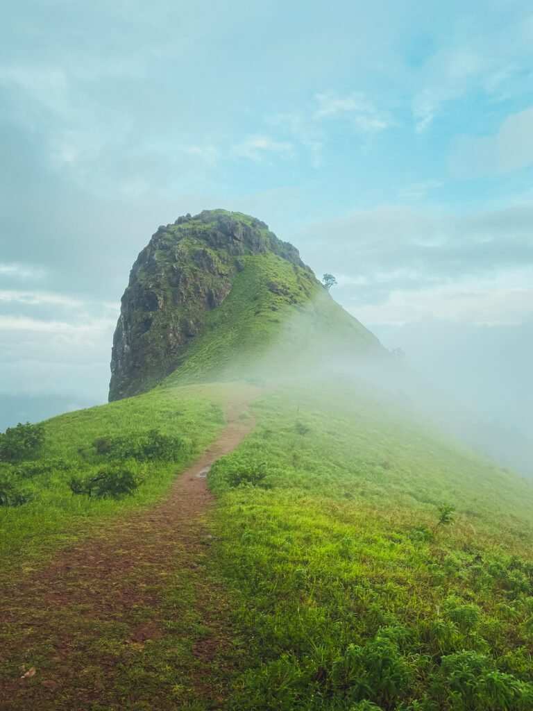
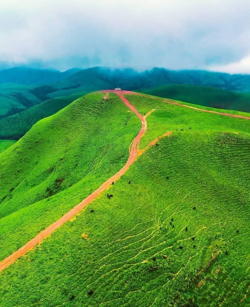
- Kyathanamakki peak trek (7-8 km round)
- Hidden cave & seasonal waterfall
- Lunch near Horanadu Annapoorneshwari temple
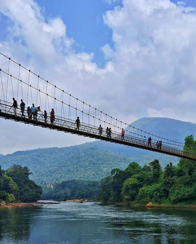
- Kalasa hanging bridge
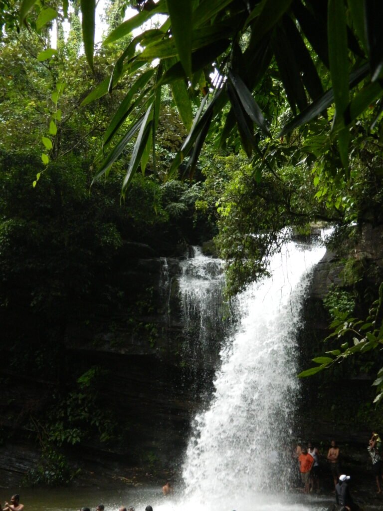
- Soormane Falls
- Campfire night at the homestay
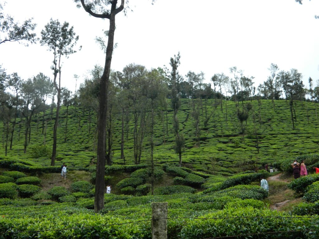
- Kelaguru tea estate
- Poornachandra Tejasvi Museum
- Halebidu Hoysala temple
- Jeep ride & local Malnad food
Day-by-Day Itinerary
- Board the semi-sleeper TT/bus from your chosen pickup point (9:30 PM onwards)
- Overnight drive to the base near Horanadu
- 06:30 AM reach the homestay, freshen up and breakfast
- 09:00 AM start trekking
- 11:00 AM reach the peak, explore the cave and falls
- 01:30 PM lunch at Horanadu
- Kalasa hanging bridge
- Soormane Falls
- 06:00 PM reach the homestay, campfire and dinner (Breakfast, Lunch & Dinner included)
- Breakfast at the homestay
- 10:00 AM Kelaguru tea estate
- 12:30 PM Poornachandra Tejasvi Museum and lunch
- 03:30 PM Halebidu Hoysala temple
- 09:00 PM reach Bengaluru (Breakfast included)
What's Included
✓ Included
- Round-trip transport from Bangalore (push-back semi-sleeper TT/bus)
- Homestay accommodation
- Meals: 3 (breakfast, lunch & dinner as per itinerary)
- Forest permission
- Guide fees
- Jeep ride
- Coffee/Tea & snacks
✗ Not Included
- Sunday lunch & dinner
- Personal expenses
- Travel insurance
- Anything not listed under inclusions
Permits & Rules
Carry photocopy of one of the following for forest verification at the checkpost: Driving License or PAN Card (preferred), Voter ID, Passport, or Ration Card. Mobile network will be unavailable at the checkpost. It is recommended to carry a physical photocopy.
Plastic covers,Flamables & Sharp objects are not allowed. Carry snacks in steel/Tupperware boxes and use only reusable bottles to avoid delays during checking.
Trekkers will be briefed about distance, duration, and local conditions.
Trekkers will be instructed on how to respond if they encounter wildlife.
Difficulty: Beginner
Who Can Do This?
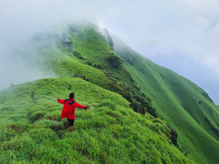
Kyathanamakki is a good first Western Ghats peak. The walk to the summit is short, roughly 3 km of climbing and about 7 to 8 km if you count the full round from the drop point, on open grassland slopes with no exposure and no scrambling. Families with school-age children manage it, and so does anyone who walks regularly in a city park. It suits people who want a summit view and a cave without a long day on their feet, and who are as interested in the Kalasa hanging bridge, the falls and the Hoysala carving at Halebidu as in the climb itself. Trekkers looking for a hard grassland day will find this one gentle; Kudremukha or Bandaje Falls are the better fit for that.
Where It Gets Difficult
Nothing on Kyathanamakki is technical, but three things catch people out. The first is the grass. After rain the slope is slick and it is the descent, not the climb, where people slide, so plant your feet flat and take it slowly. The second is the weather: this is Horanadu country, one of the wettest corners of Chikkamagaluru, and cloud can close over the summit within minutes, so the view is never guaranteed and a windproof layer matters more than a warm one. The third is leeches, through the monsoon and for weeks after it. They are harmless and unavoidable on the wooded stretch, and salt or a pair of leech socks settles the matter. The cave near the top is short but low and dark; a proper torch rather than a phone light is what makes it worth going in.
Fitness Requirement
You need to be able to climb steadily for about an hour without stopping every few minutes. That is the whole fitness demand. The ascent is short and continuous rather than long and broken, the ground is grass and packed earth rather than boulder, and the peak stands at about 1,450 m so altitude plays no part at all. Two or three brisk half-hour walks a week in the month before you come is enough preparation for most people. Knees feel the grass descent more than the climb, especially when the slope is wet, so poles are worth carrying if your knees complain on downhills.
Best Time to Visit
Lush, dramatic, and at its peak. Forests turn vivid green, waterfalls appear, and mist adds a surreal feel. Expect slippery trails, near-constant rain (carry a raincoat), and leeches. Challenging but highly rewarding, with good summit views when clouds clear.
Greenery continues, but trails are drier and more grippy, making the trek easier. Rain is less frequent but unpredictable (carry a raincoat). Offers the best balance of comfort and scenery, with higher chances of clear skies and excellent views.
Cool mornings and comfortable conditions. Trails are easy to walk, and visibility is often excellent. Greenery starts to fade. Carry an extra layer for mornings, summit winds, and overnight stays.
Packing List
Pack light but pack smart. Everything you bring, you carry on your back.
How to Reach
Frequently Asked Questions
Still have questions? We reply within 15 minutes on WhatsApp.
💬 Ask on WhatsAppReviews
1 review
Sign in to review
Reviews on Elneeru come from trekkers who've been on the trail, so we ask you to sign in first. Your treks and reviews then live together on your profile.
Thanks to elneeru, chaaraniga and jeevan for being a wonderful host
You Might Also Like