Bandaje Falls Trek & Ballalarayana Durga
Overview
Highlights
- Departure: Every Friday night from Bangalore
- Best Season: July – February (lush & green; avoid peak summer)
- Group Size: Small batches for a personal experience
Day-by-Day Itinerary
- Depart Bangalore by pushback bus
- Arrive at base village early morning
- Freshen up & breakfast at local homestay
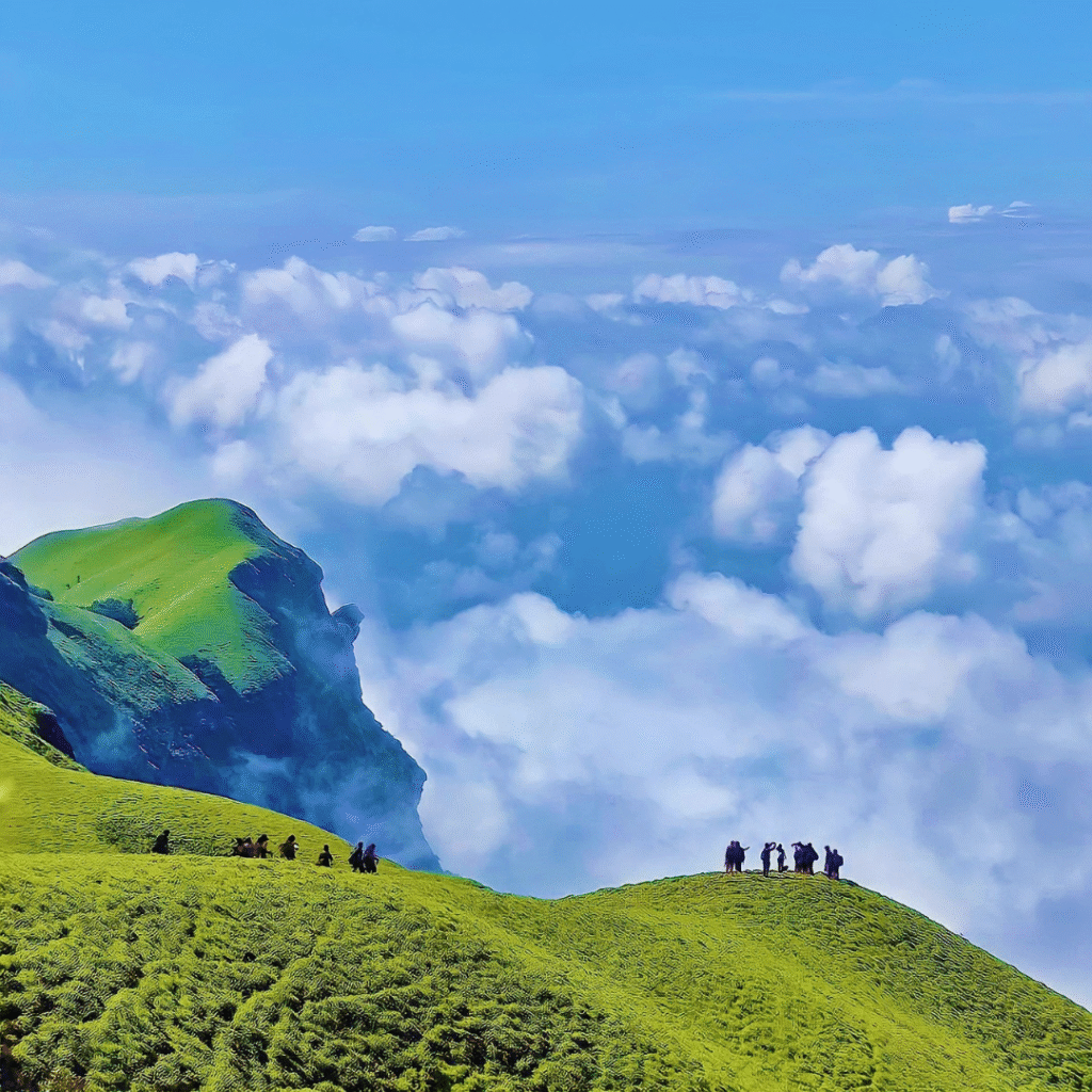
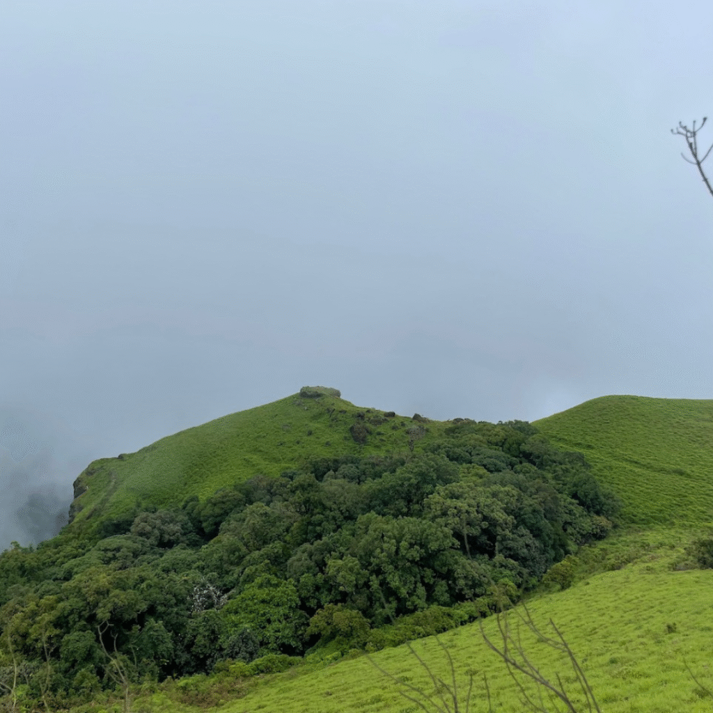
- Begin trek → Forests → Grasslands → Ballalarayana Durga Fort
- Packed lunch en route
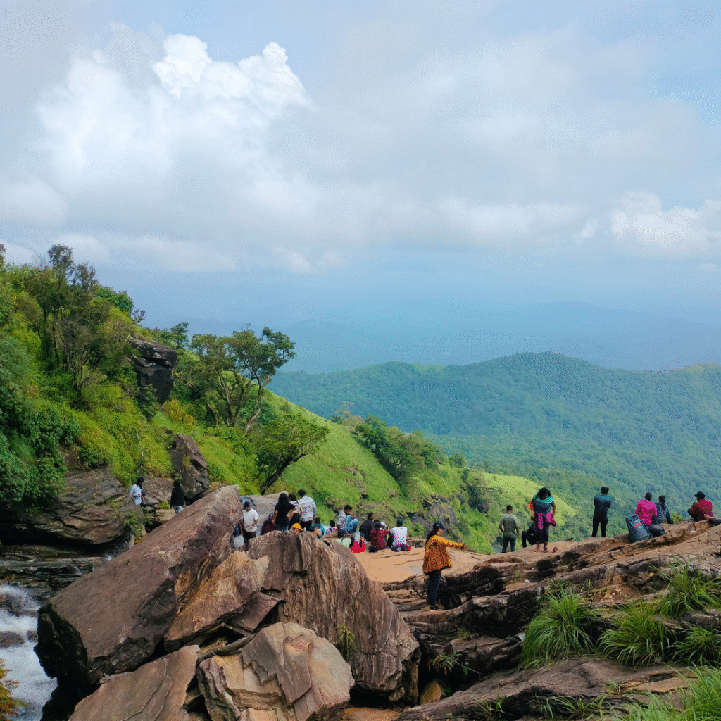
- Trek to Bandaje Falls & enjoy valley views
- Descend back, reach homestay
- Evening tea, dinner & group bonding
- Morning breakfast
- Visit nearby Kodige Falls / Hanging Bridge (time permitting)
- Start return journey
- Reach Bangalore ~9 PM
What's Included
✓ Included
- 🚌Non-AC Transport from Bengaluru & back
- 🏕️Camping gear & tents
- 🍱Meals (Day 1 Breakfast, Lunch, Dinner + Day 2 Breakfast, Lunch)
- 🧭Certified trek leader & assistant
- 🩺First aid kit & emergency support
- 🎫Forest permit fees
- 💧Water throughout the trek
✗ Not Included
- 🍽️Personal snacks & energy bars
- 🛡️Personal travel insurance
- 👟Trekking gear (boots, poles)
- 💊Personal medications
- 📱Any personal expenses
Permits & Rules
The trail runs through Karnataka Forest Department land below Ballalarayana Durga, and nobody walks past the checkpost who is not on the day's named list. Travel Elneeru files the permit for the whole batch and carries the paperwork to the gate, so you never have to deal with the portal yourself.
Names on the permit are checked against original government photo identification at the checkpost before the group is let through. An ID that does not match the name on the list means no entry, and there is nothing that can be done about it on the morning.
The checkpost opens early and expects trekkers back down the same evening, which is why the bus is timed to reach the base village at first light. The group turns back on schedule regardless of where it has reached on the ridge, so a late start costs you the falls, not the deadline.
Plastic is counted in at the gate and counted out again, and overnight stays on the grassland or at the falls are not permitted. Everything carried up comes back down with the group, including what other people have left behind.
Difficulty: Moderate
Who Can Do This?
Bandaje suits a walker who has done a full day on their feet before and wants a second one. It is not a beginner's first trek and it is not a technical climb. If you can walk 15 km on mixed ground over a long day, carry your own two litres of water and are willing to be wet, muddy and leeched for part of it, you will be fine here.
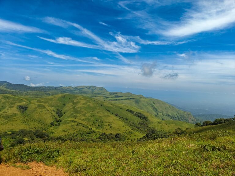
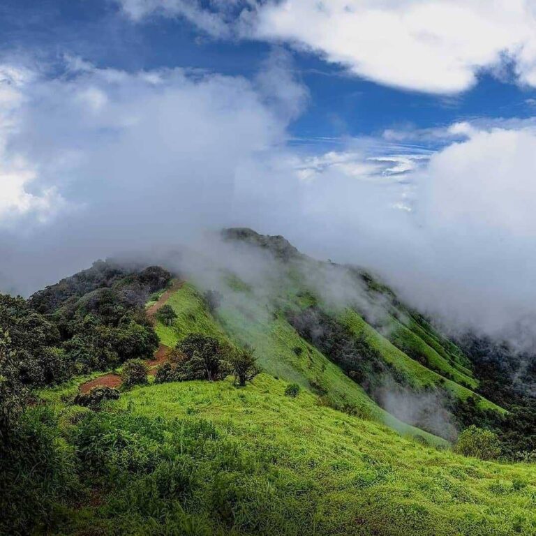
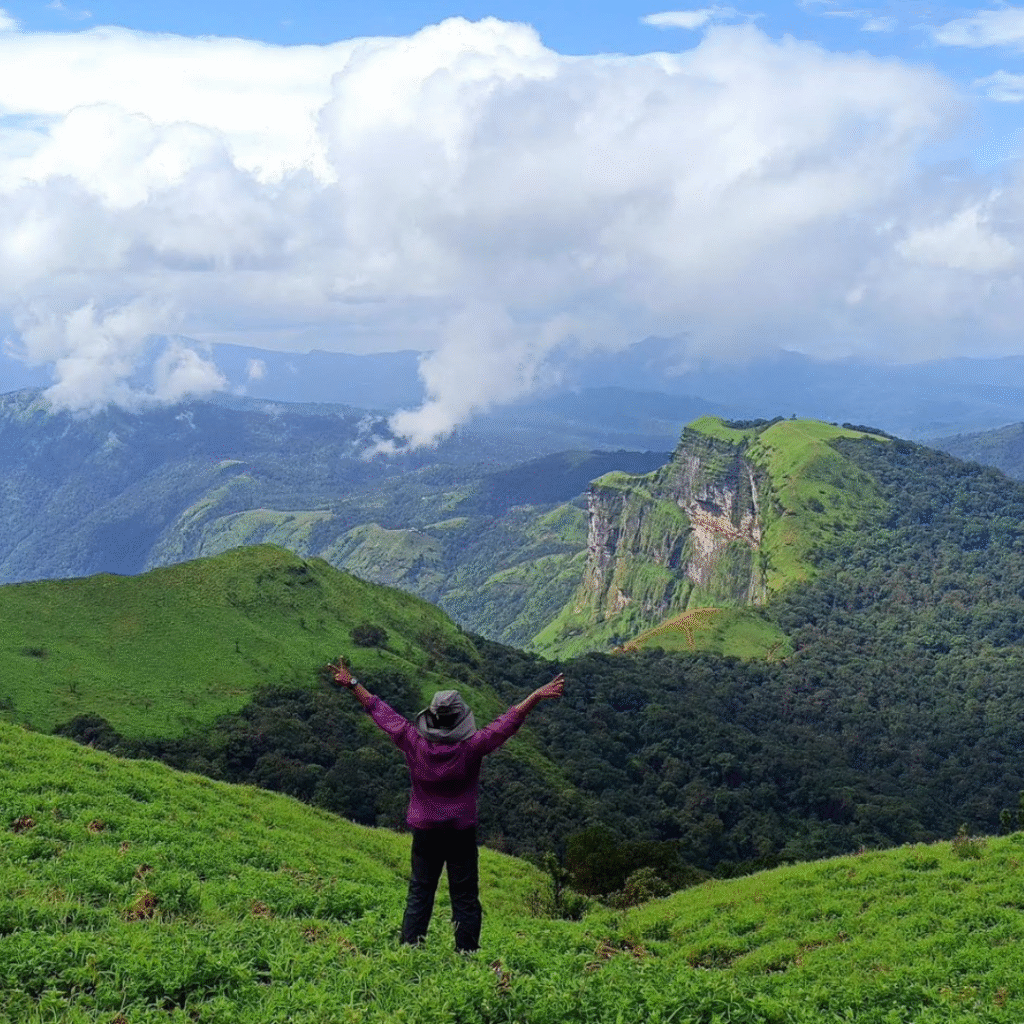
It is a good fit for people who like open country. Much of the route is grassland ridge with long views rather than tunnel-like forest, so it rewards anyone who walks for the landscape.
It is a poor fit for very young children, for anyone uneasy near exposed edges, and for anyone who needs shade and a bailout point midway. Once you are past the fort there is no short way down.
Where It Gets Difficult
Three sections do the damage, and none of them is the one people expect.
The open ridge. Between the fort and the falls the trail runs across grassland with no tree cover and no water source. In clear weather it is hot and relentless; in cloud and wind it is cold and disorienting, and the path is easy to lose where the grass is high. Fill up before you leave the shola and keep the group together.
The leech belt. From roughly June to October the shola pockets and stream crossings are thick with them. They are harmless and maddening in equal measure. Salt, tucked-in socks and a willingness to stop and pick them off every twenty minutes is the whole strategy.
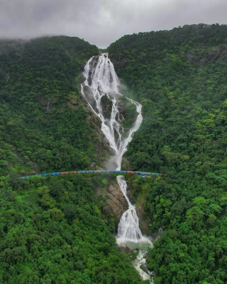
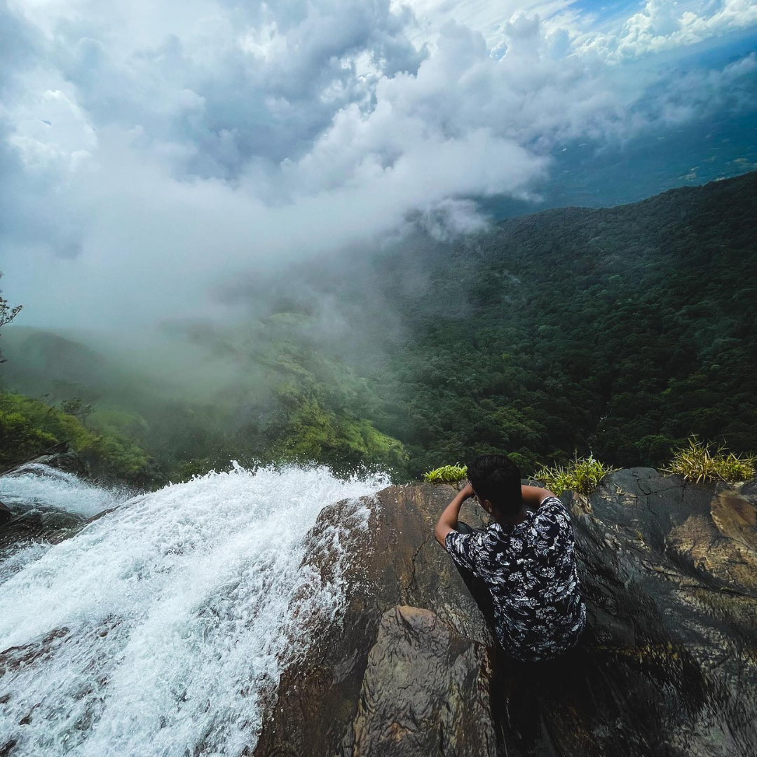
The falls edge. The last approach is over wet rock above a drop of close to 200 feet, with no railing and permanent spray. Every serious incident on this trail happens in that last twenty metres. Look at the falls from the side, not from the lip.
Fitness Requirement
Call it moderate, honestly moderate rather than politely moderate. The distance is about 15 km on foot with roughly 1,000 m of cumulative gain, spread over a long day rather than concentrated in one wall.
A reasonable benchmark: be able to walk 10 km on undulating ground without needing a long recovery, and climb ten floors of stairs without stopping. If that is a stretch today, four to six weeks of three walks a week, one of them long and on a slope, will close the gap comfortably.
The part people underestimate is heat and exposure rather than steepness. On the open ridge there is no shade and no water, so pace and hydration matter more here than raw leg strength.
Best Time to Visit



The falls are at full force and the grassland is vivid green, which is the whole reason people come. It is also the hardest version of the day: rock and red earth stay slick, cloud closes the ridge view without warning, and leeches are constant in the shola pockets. Carry a raincoat and expect to be wet from the first hour.
The best window on this trail. The stream is still running strongly over the lip, the grassland has not browned off yet, and the ground has dried enough to give proper grip on the climb to the fort. Skies clear more often, so the view west across the Charmadi valleys is actually there when you get to it.
Cool mornings, easy walking and the best visibility of the year from the ridge. The falls are thinner than in October and the grassland is turning gold rather than green. Carry an extra layer for the early start and for the wind on the open section.
Best avoided. The grassland between the fort and the falls has no shade and no water source, the heat on that stretch is punishing, and the falls drop to a trickle. There is little to see and a lot to endure.
Route Breakdown
Packing List
Pack light but pack smart. Everything you bring, you carry on your back.
How to Reach
From Bengaluru it is roughly 290 km and six and a half to seven and a half hours of driving. The straightforward line is NH-75 through Nelamangala, Kunigal and Hassan to Sakleshpur, then on to Mudigere and Kottigehara, and from Kottigehara a state road to Sunkasale and the Durgadahalli side. The last stretch to the base is narrow, steep and broken in places, and after heavy rain it wants a high-clearance vehicle rather than a low-slung car.
From Mangaluru the approach is shorter but slower, about 110 km up the Charmadi ghat via Ujire, a road of sharp hairpins that is worth driving in daylight.
By train, Sakleshpur and Hassan are the nearest useful railheads; from either, road transport is the only way to cover the last leg. There is no public bus that reaches the trailhead itself, so groups arriving by train or bus come in as far as Mudigere or Kottigehara and cover the last stretch by hired vehicle.
Karnataka Forest Department rules apply from the checkpost: entry is by permit against the day's named list, the gate keeps fixed opening hours, and plastic is checked in and counted out. Carry the ID that matches the name on the list.
Frequently Asked Questions
Still have questions? We reply within 15 minutes on WhatsApp.
💬 Ask on WhatsAppReviews
4 reviews
Sign in to review
Reviews on Elneeru come from trekkers who've been on the trail, so we ask you to sign in first. Your treks and reviews then live together on your profile.
Rani Jhari was pure magic! Bandaje Falls trek is no walk in the park—it’s pretty intense with plenty of steep climbs—but the foggy landscapes and insane views more than make up for it. Rated it medium on difficulty. Huge shoutout to our guides, who were super friendly, helpful, and kept us safe throughout! Enjoyed the whole 2 days!
Go up the trails and feel the top of everything !!!
Trek was rewarding everything was managed well and really loved the experience and over all quality was top!!
The trek experience, food ,stay and guide were really good. But Food and stay were especially good. I loved it
You Might Also Like