
Tadiandamol Trek & Sightseeing from Bengaluru
Overview
Highlights
- 🏔️ Trek to the highest peak of Coorg, Tadiandamol
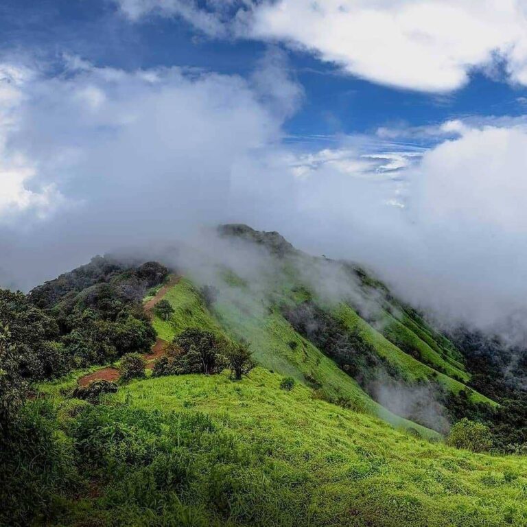
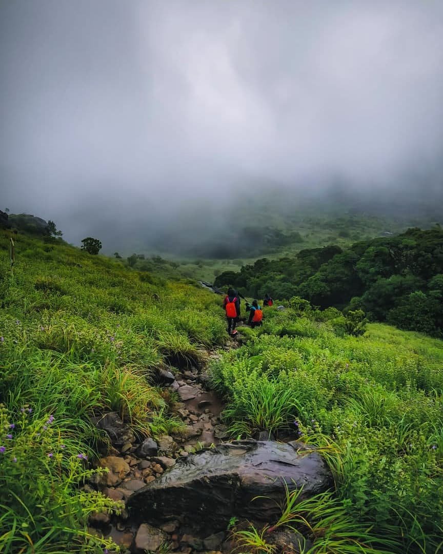
- 🌿 Trail through dense forests, grasslands, and scenic routes
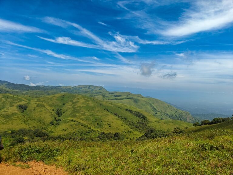
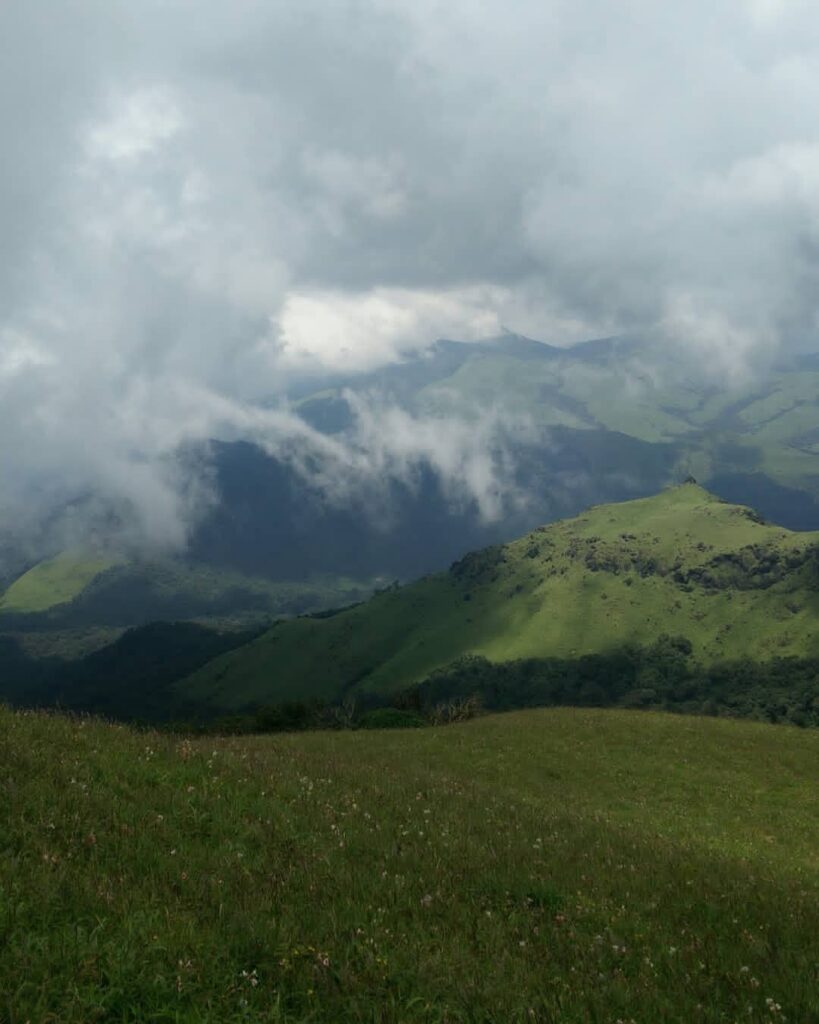
- 🌄 Panoramic views of the Western Ghats from the summit
- 🔥 Homestay experience with evening campfire (weather permitting)
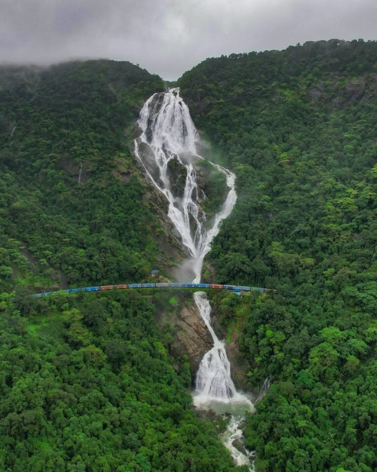
- 🌊 Visit to Chelavara Falls
- 🛕 Visit to Namdroling Monastery
- 🧘 Ideal weekend reset for working professionals
- 📵 Opportunity to disconnect from work and screens
- 🤝 Group trek experience with like-minded professionals
- ⏳ Structured itinerary suitable for short work breaks
Day-by-Day Itinerary
- Night pickup from Bangalore (multiple boarding points)
- Start overnight journey towards Coorg
- Travel in Non-AC Tempo Traveller / Mini Bus
- Trek briefing & group interaction during journey
- Early Morning Arrival at homestay in Coorg
- Freshen up & relax
- Breakfast
- Start Trek to Tadiandamol
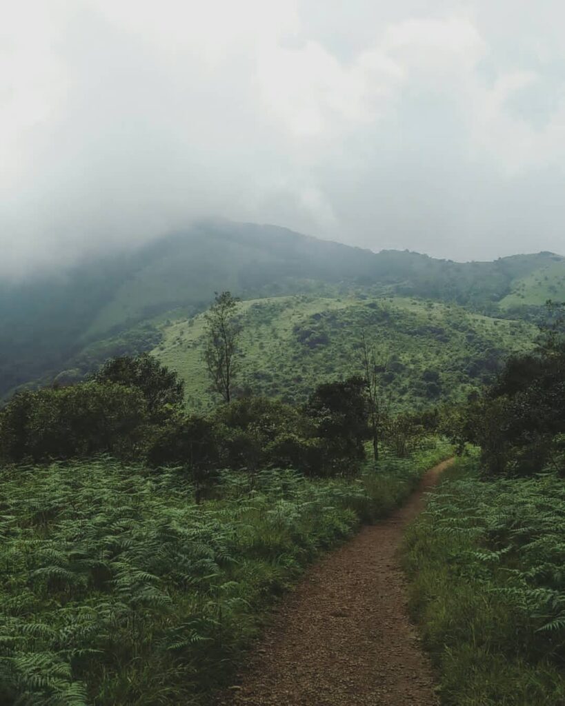
- Trek through dense forests, grasslands & scenic trails
- Moderate difficulty (approx. 6–8 km one way)
- Reach Peak
- Enjoy panoramic views of Western Ghats
- Packed lunch at the summit
- Descend Trek
- Return to base by evening
- Evening at Homestay
- Tea & snacks
- Campfire (weather permitting)
- Dinner & overnight stay
- Wake up & freshen up
- Breakfast
- Checkout & start return journey
- Visit Chelavara Falls
- Visit Golden Temple (Namdroling Monastery)
- Lunch (self-sponsored en route)
- Return journey to Bangalore
- Reach Bangalore by evening/night
What's Included
✓ Included
- 🚐 Transportation (to & from Bangalore)
- 🎫 Trekking permits & forest entry
- 🧑🏫 Trek leader/guide
- 🏡 Accommodation (homestay/dormitory)
- 🍽️ 2 Breakfast
- 🍽️ 1 Lunch
- 🍽️ 1 Dinner
- 🍪 Snacks
- 🔥 Campfire (weather dependent)
✗ Not Included
- 🍽️ Sunday Lunch
- 🍽️ Sunday Dinner
- 🛡️ Travel Insurance
- 💸 Personal Expenses
- 💸 Any expenses not mentioned in the inclusions
Permits & Rules
Tadiandamol is inside reserved forest and entry is controlled by the Karnataka Forest Department. Permits are issued through the Aranya Vihara portal under the Kodagu district treks, and the daily headcount is capped, so weekend slots go early.
Trekking hours are 6 am to 6 pm. The forest checkpost stops letting people up in the early afternoon - plan to be through it in the morning, not after lunch. Everyone is expected to be back down before the gate closes at six.
Overnight stays on the trail or at the summit are not permitted. Tadiandamol is walked as a day trek from Kakkabe, with accommodation in the village or the surrounding estates.
There are no bins and no facilities past the palace. Plastic is checked at the gate on some days. Whatever goes up comes back down with you.
Carry a government photo ID for the checkpost. A local guide is required on some dates and is in any case the difference between finding the summit trail and finding the false one.
Difficulty: Moderate
Who Can Do This?
Tadiandamol is the one to pick if you want a real Western Ghats summit without a hard day. It suits a first-time trekker who walks a bit, a family with teenagers, and anyone who wants a peak they can be reasonably sure of finishing. There is no scrambling, no exposure and no section where you need hands on rock. What it does ask for is a tolerance of open sun and a willingness to keep going after the false summit, which is where most people quietly decide they have had enough. It is a poor choice if you are looking for a technical day or for solitude on a long weekend, and it is not the trek to bring very young children on, mostly because of the unshaded middle section rather than the gradient.
Where It Gets Difficult
Three things make this day harder than the gradient suggests.
The open grassland. Roughly two hours of the walk has no shade whatsoever. Started late, on a clear February morning, this is the section that turns a moderate trek into a grim one. It is the single strongest argument for being at the palace gate early.
The false summit. The obvious high point ahead of you for most of the climb is not the top. You crest it, lose a little height, and find the real summit behind a second belt of shola. It is only another thirty to forty minutes, but it lands exactly when people have mentally finished.
The shola floor after rain. The forest sections hold water long after the sky clears. Roots, wet rock and, from June into early October, leeches. None of it is dangerous, but it slows the descent more than anyone plans for, and the descent is when ankles get turned.
Fitness Requirement
Moderate, and honestly so. Around 14 km on the day from the palace gate and back, with roughly 600 m of ascent spread across it, on a trail that is a path throughout rather than a boulder field. If you can walk 5 km on the flat without stopping and climb ten floors of stairs without your legs complaining, you will finish this comfortably. Four weeks of preparation is plenty: three walks a week building to about an hour, and one longer weekend walk of two hours or more on any hill you can find. The thing that actually tires people here is not the climb but the exposure - two hours of open grassland with no shade, so the training that matters most is getting used to walking in sun with water on your back.
Best Time to Visit
The shola belt is running with water and the grassland is in cloud for days at a stretch, so the ridge view you came for is often simply not there. Leeches are at their worst in this window and the wet rock on the forest section needs care. Green, atmospheric and worth it only if you are relaxed about seeing nothing from the top.
The best weeks of the year on this hill. The rain has stopped, the grassland is still green, the air is washed clean and the long view across the Western Ghats from the summit is at its clearest. Mornings are cool, the leeches have mostly gone, and the ground has dried enough to be pleasant underfoot.
Still very good. Clear mornings and excellent visibility from the ridge, with cold starts at the palace and a genuine chill on the summit before the sun gets up. The grass has turned gold by January. Carry a layer you can actually feel warm in at the top.
Walkable but unrewarding. The grassland has no shade at all and the middle section of the climb becomes hard work by mid-morning, while haze flattens the view that makes the trek worth the drive. If you go, be off the open slope early.
Route Breakdown
Packing List
Pack light but pack smart. Everything you bring, you carry on your back.
How to Reach
Without your own vehicle, the practical approach is an overnight KSRTC bus from Bengaluru to Virajpet or Madikeri, arriving early morning, then a local bus or taxi on to Kakkabe. Buses from Bengaluru's Satellite bus stand run late in the evening and get in around dawn, which fits the trek well: you want to be walking by six or seven.
From Kakkabe an estate road climbs about 7 km to Nalknad Palace, where the trail proper begins. Most cars and all jeeps manage it in dry weather; in heavy monsoon the last section can be rough enough that walking it is the sensible call. The nearest railheads are Mysuru, about 130 km away, and Mangaluru, about 140 km, and neither is closer in practice than driving straight from Bengaluru.
Frequently Asked Questions
Still have questions? We reply within 15 minutes on WhatsApp.
💬 Ask on WhatsAppReviews
1 review
Sign in to review
Reviews on Elneeru come from trekkers who've been on the trail, so we ask you to sign in first. Your treks and reviews then live together on your profile.
You Might Also Like